Hyperspectral imagery
Explore spectral satellite imagery beside geology, drilling, and survey layers to investigate surface patterns in context.
Choose the right imagery source
Spectral imagery records the surface in different wavelength bands. Combining those bands can make vegetation, exposed rock, moisture, and other surface contrasts easier to investigate.
| Source | What you are viewing |
|---|---|
| EnMAP | Hyperspectral imagery with many narrow wavelength bands. Use presets, individual bands, or custom colour combinations. |
| Sentinel-2 | Multispectral imagery with broader bands. Useful for regional surface context and comparing visible, near-infrared, and shortwave-infrared views. |
Available imagery depends on the area, acquisitions, and source availability. The band controls show the wavelength and spatial resolution where provided.
Show spectral imagery on your map
- Open a map search and focus on your area of interest.
- Open Search Result Settings from the map settings control.
- Turn on Show spectral imagery, then close the dialog.
- Expand Spectral imagery in Results and choose a Source.
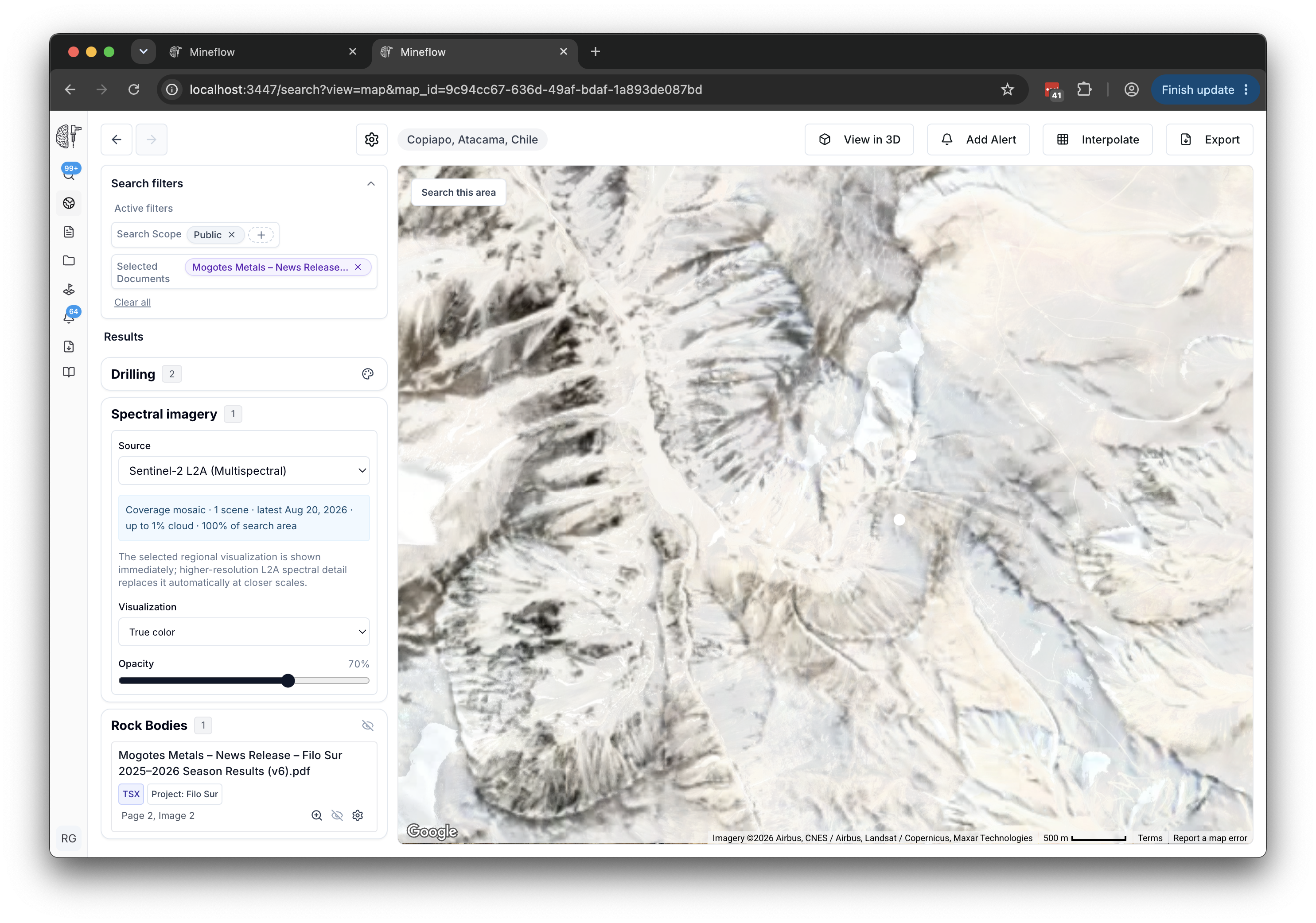
Mineflow may combine several scenes to cover the search area. Check the acquisition dates, cloud information, and coverage percentage before comparing two views.
Compare presets and individual bands
- True color: a familiar visible-light view for orientation.
- Color infrared: a false-colour combination that helps distinguish surface and vegetation patterns.
- SWIR / geology: a shortwave-infrared combination for examining surface contrasts in geological context.
- Individual bands: inspect one band at a time. For EnMAP, use Search EnMAP bands to find a band number or wavelength.
- Custom RGB: choose the bands assigned to the red, green, and blue display channels.
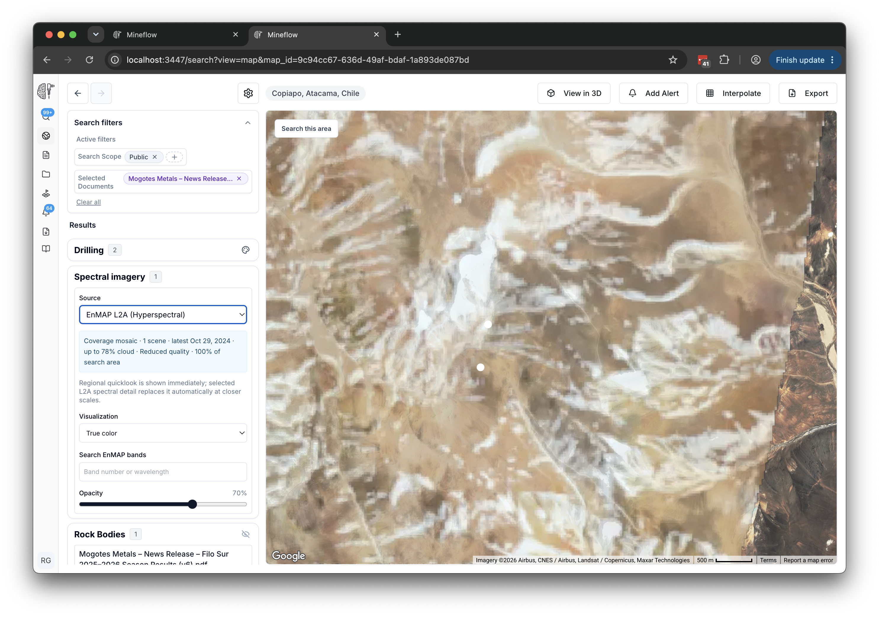
Allow the detailed view to load
A regional overview appears first. At closer scales, detailed imagery replaces it as it becomes available. Wait for Loading imagery to clear before assessing a band change or taking a screenshot.
If no imagery appears, check the selected source, coverage, map scale, and any loading or source error. A gap in satellite coverage is not evidence that a geological feature is absent.
Use spectral patterns with supporting evidence
A colour composite is a view of the measured spectral response. It is not a mineral identification result or a measurement of subsurface grade. Compare patterns with geology, surface samples, field observations, and the source imagery's resolution.