Before you spend on new data
How much would you pay for another ten RC holes?, or a detailed aeromag survey?, or a soil grid over the whole tenement?, or rock chips from the old workings?, or step-out drilling along strike?
What if that data already exists for your project, sitting in a hand-drawn drill log from 1974?, or a 1980s company survey nobody ever reprocessed?, or a PhD thesis nobody has opened since 2003?, or a prospector’s letter to investors from 1896?, or your neighbour’s ASX announcement from this morning?
The intercept that turns your project into a discovery might already be on record, and Mineflow has the largest mineral exploration database in the world.
What it costs to go and get it
- Detailed aeromag surveyA$51,400
Fixed-wing mag and radiometrics, 50 m line spacing over a 10 × 10 km tenement
- Mob and demob
- A$22,000
- 2,200 line-km at A$9.50
- A$20,900
- Processing and final grids
- A$8,500
Airborne survey contractor · 6–10 weeks
- Ten RC holesA$337,375
10 holes to 150 m, 1 m splits fire-assayed for gold
- Mob and demob
- A$28,000
- 1,500 m of RC at A$115/m
- A$172,500
- Heritage survey, site prep and rehab
- A$24,000
- Geologist and field assistant, 18 days
- A$37,800
- 1,500 assays, ALS PREP-31 + Au-AA26
- A$75,075
WA RC drilling contractor · ALS Geochemistry · 4–6 months with approvals
- Soil gridA$134,450
1,000 samples, super-trace gold and multi-element
- Geologist and two field assistants, 12 days
- A$37,200
- Vehicles, camp and consumables
- A$9,000
- 1,000 assays, ALS PREP-41 + AuME-ST44
- A$88,250
Field crew · ALS Geochemistry · 8–12 weeks
- Checking MineflowFree
Every survey, drill hole and report already on record for your project
Mineflow · minutes
Assays priced from ALS Geochemistry's published 2026 AUD fee schedule. Drilling, airborne and field costs are typical Australian rates, not a quote from a named company.
Look at historical data alongside your own in minutes.
Bring in your own drilling, maps, and project files, then line them up against Mineflow's public record on the same search surface without a separate GIS workflow.
Every map in every filing, georeferenced automatically.
No control points. No GIS workflow. Scanned plans, appendix maps, and cross sections arrive on the map next to the project they belong to.
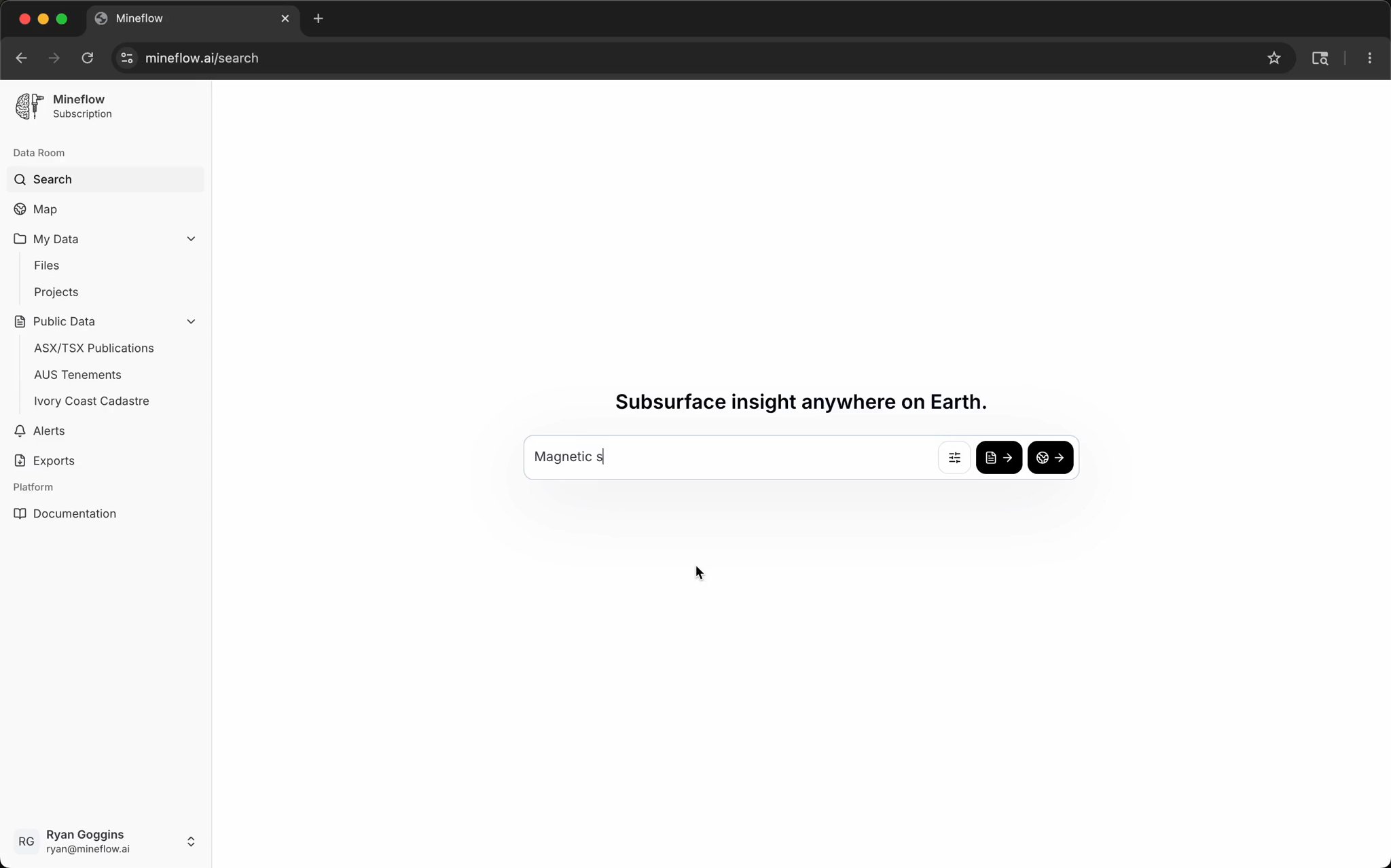
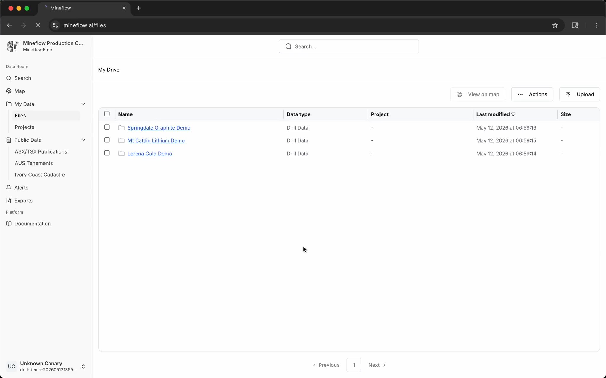
Any file in. Searchable data out.
Scanned appendix maps, typed drill logs and last night's ASX release all become points, lines and polygons on the same map.
See how extraction works →Start with one announcement. End with the whole project in 3D.
Open a company's latest announcement and the data's already pulled out of it, tied to the project and joined to every hole ever drilled there. Drape the magnetics over the top, then step into 3D.
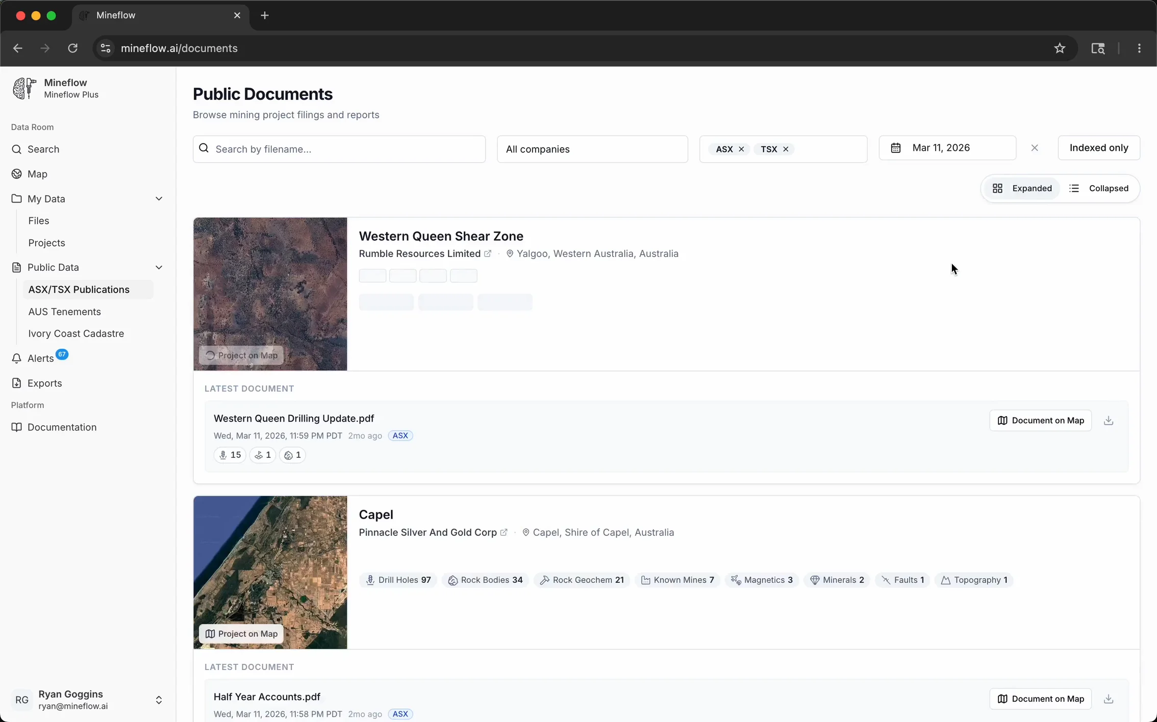
Drill holes, terrain, geology, and the source filing — in one 3D scene.
The email gets you to a workspace, not a PDF reader. Color drill traces by assay against terrain and mapped geology before deciding what to follow up.
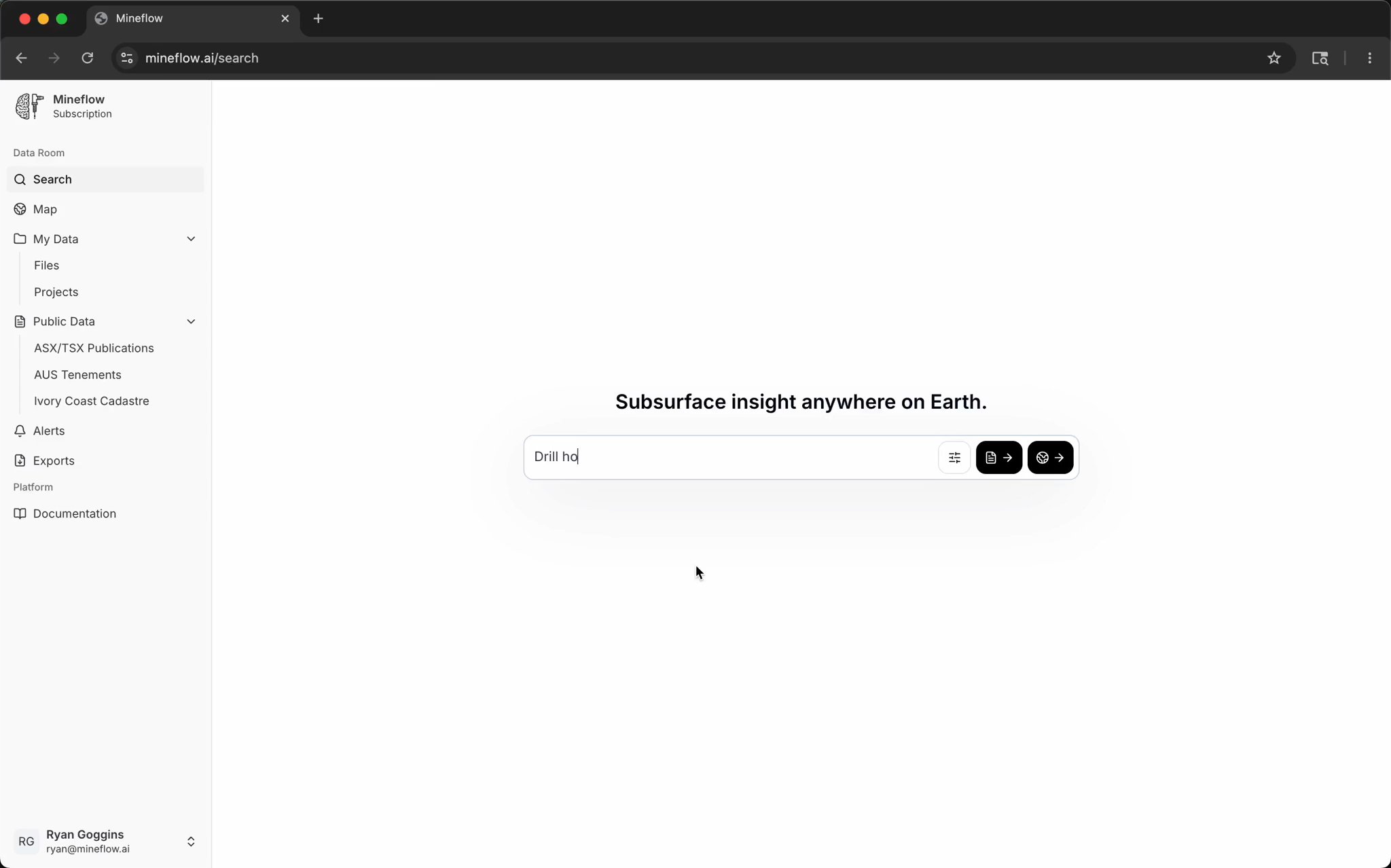
Search the largest public mineral exploration dataset in the world.
Drill holes, assays, geology, geophysics, maps, and tenements — all queryable from one search bar, alongside your own project data.