Mineflow emails you when…
Mineflow maintains the biggest public mineral exploration dataset in the world, updated every second. Create alerts for anything you want to know.
Every alert opens with the data extracted, the maps georeferenced, and a 3D scene ready to interrogate and export to your team.
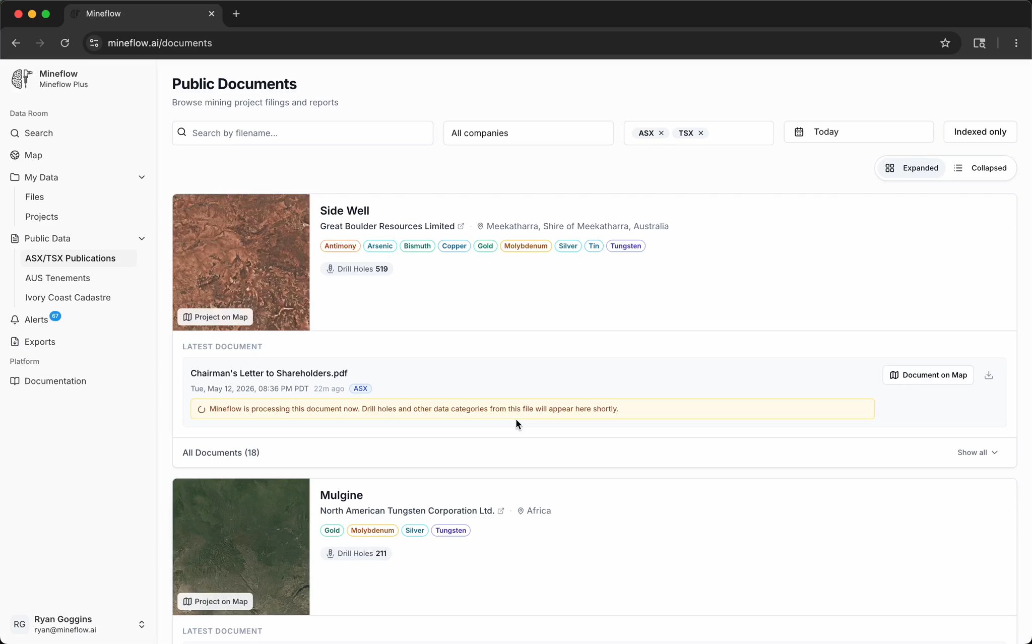
Every public filing.
Every company website.
Every map.
Hundreds of new filings, surveys, and tenement changes every day — parsed end-to-end and routed against your projects. When something matches, the email goes out.
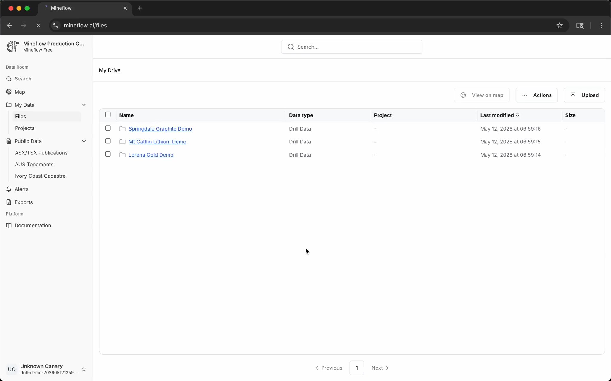
Look at historical data alongside your own in minutes.
Bring in your own drilling, maps, and project files, then line them up against Mineflow's public record on the same search surface without a separate GIS workflow.
Every map in every filing, georeferenced automatically.
No control points. No GIS workflow. Scanned plans, appendix maps, and cross sections arrive on the map next to the project they belong to.


Drill holes, terrain, geology, and the source filing — in one 3D scene.
The email gets you to a workspace, not a PDF reader. Color drill traces by assay against terrain and mapped geology before deciding what to follow up.
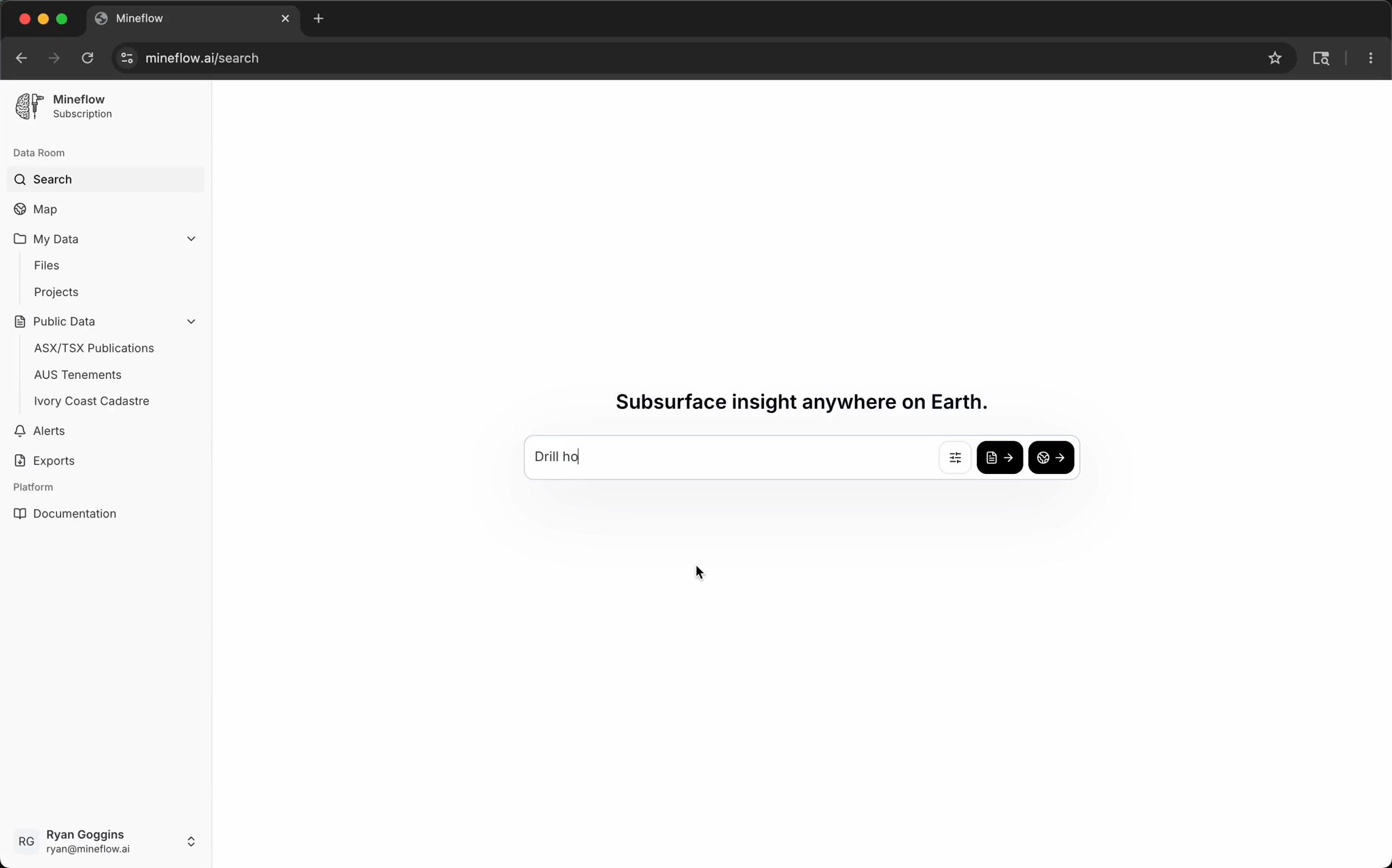
Search the largest public mineral exploration dataset in the world.
Drill holes, assays, geology, geophysics, maps, and tenements — all queryable from one search bar, alongside your own project data.